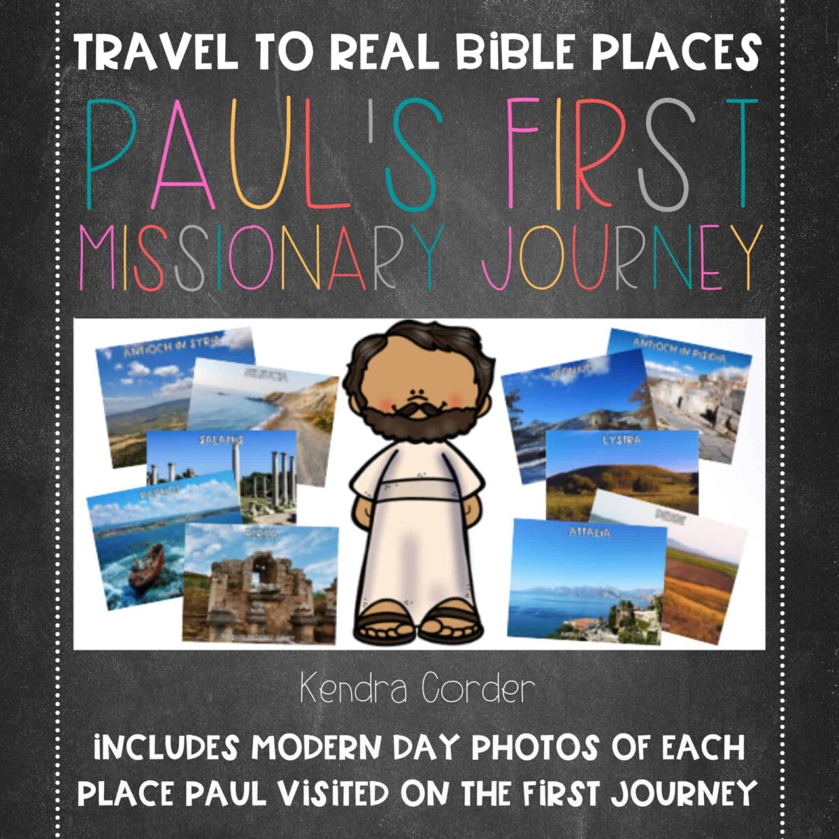
First Missionary Journey of Paul Map and Photos
$6.00
Travel to real Bible places with the First Missionary Journey of Paul Map and Photos Set. This set enriches understanding by helping students to see that these are TRUE stories that occurred in REAL places! This set follows the route of Paul and includes a map and modern day photos of each of his 14 stops.
Description
Travel to real Bible places with the First Missionary Journey of Paul Map and Photos Set. This set helps to enrich understanding by helping students to see that these are TRUE stories that occurred in REAL places!
What does the First Missionary Journey of Paul Map and Photos Set include?
This set follows the route of Paul and includes a map and modern day photos of each of his 14 stops:
- Antioch in Syria
- Seleucia
- Salamis
- Paphos
- Perga
- Antioch in Pisidia
- Iconium
- Lystra
- Derbe
- Lystra
- Iconium
- Antioch in Pisidia
- Attalia
- Antioch in Syria
Each photo is labeled with both the Biblical name and the modern day name of the city or area. This set is appropriate for children (or adults) of all ages! For more Bible resources, visit my shop here! You can also find Teach Me Thy Way on Teachers Pay Teachers and Etsy.
- Format: Google Drive
- Number of Pages: 18
Please do not distribute your digital downloads to others. Each purchase includes one digital license for the use of a single classroom or a single family home. This practice helps to keep prices affordable for all teachers. Contact me for pricing an organizational license. An organizational license can be shared among teachers of a single school, church, or other organization for the use in multiple classrooms.


